Research Interests

3D Geospatial Rendering

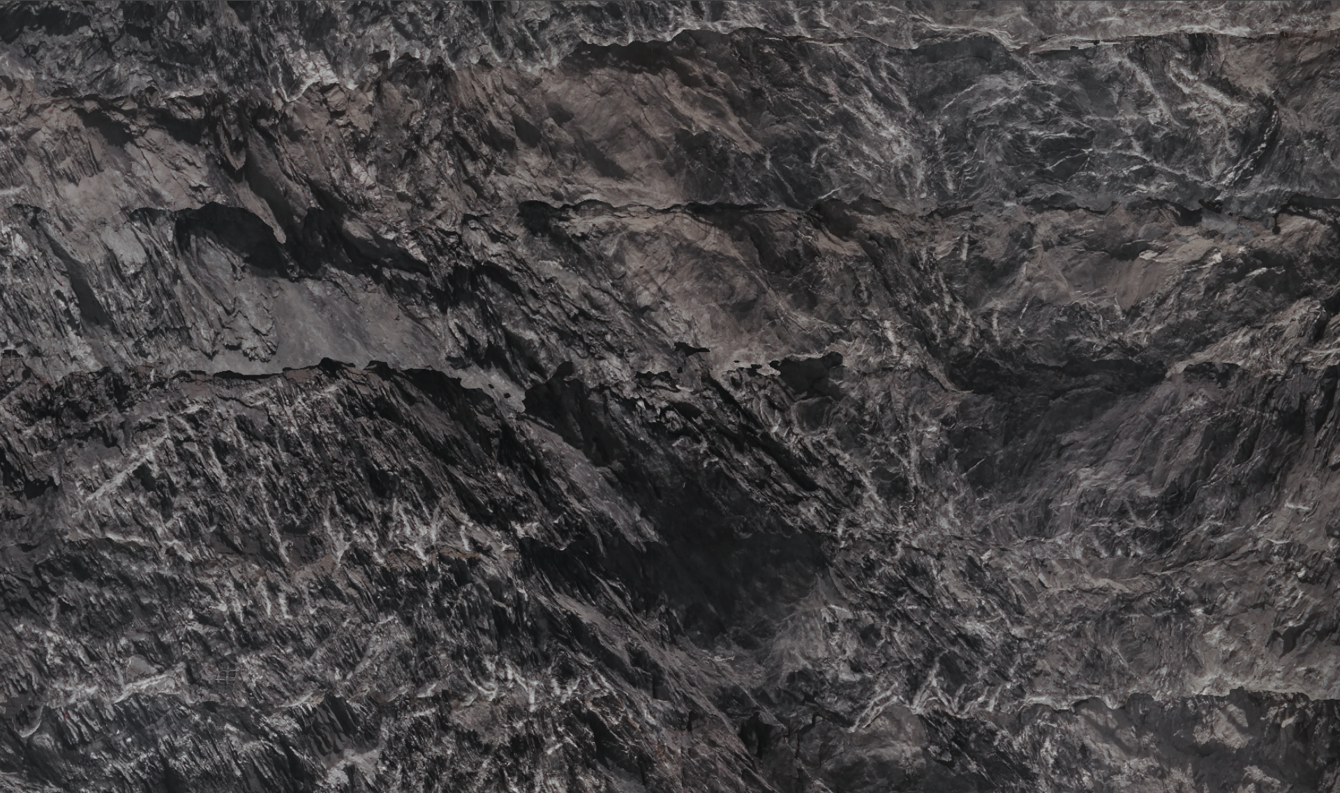
Rendering of and interaction with large-scale 3D data derived from photogrammetric reconstructions or laser scans. Runtime integration of multiscale data from kilometer to sub-milimeter range.


Visual Analytics

Strong interest in domain-specific design of visualizations for supporting domain experts in exploring, analysing, and interpreting heterogeneous data. Domain experience in:
Planetary Science & Geology, Urban Planning, and Tunnel Surface Documentation.


Integration of 3D geometric and attribute data

Efficient and intuive integration to allow users to seamlessly switch between 3D real-time rendering views and 2D visual analysis views, including mutual embedding.


Knowledge Communication

Communication of research results and goals, or technical knowledge in oral and written form for audiences with various expertise, including peers, domain experts, customers, and the general public.

Publications

selected

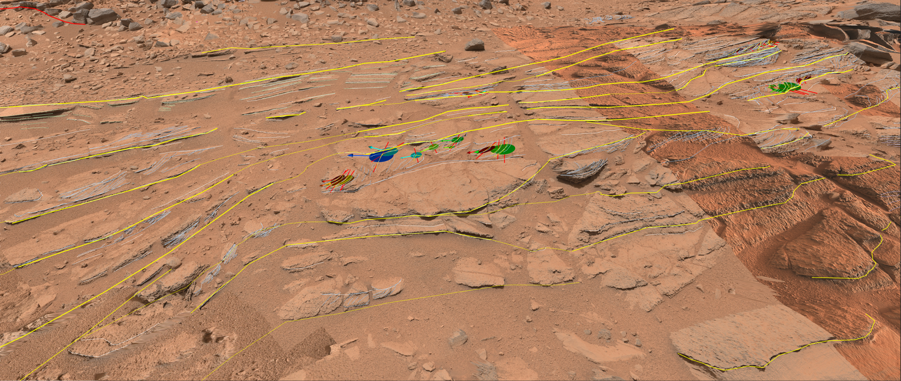
Ortner T., Walch A., Nowak R., Barnes R., Höllt T., Gröller E.,
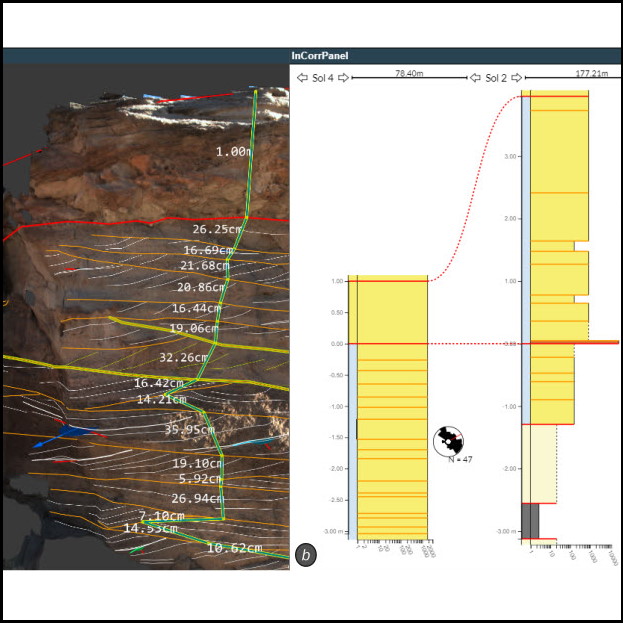
InCorr: Interactive Data-Driven Correlation Panels for Digital Outcrop Analysis.
*IEEE Transactions on Visualization and Computer Graphics, accepted at IEEE VIS 2020.
2020 pdf
talk
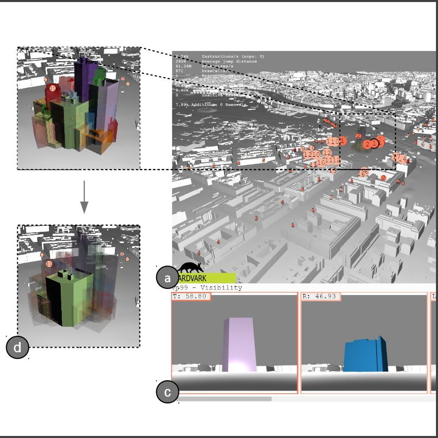
Ortner T., Sorger J., Steinlechner H., Hesina G., Piringer H., Gröller E.,
Vis-A-Ware: Integrating Spatial and Non-Spatial Visualization for Visibility-Aware Urban Planning.
IEEE Transactions on Visualization and Computer Graphics, presented at IEEE VAST 2016.
2016 pdf
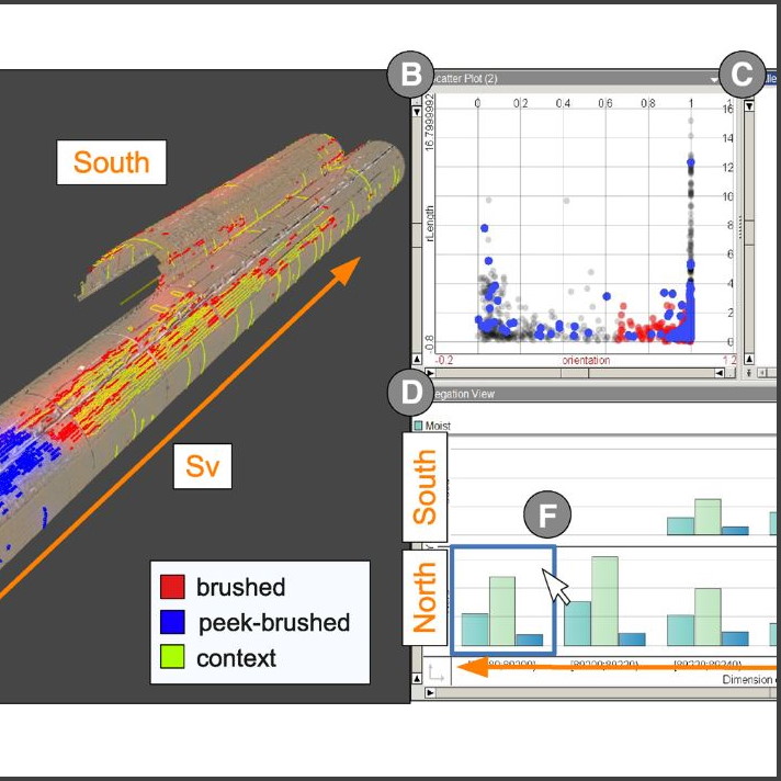
Ortner T., Sorger J., Piringer H., Hesina G., Gröller E.,
Visual Analytics and Rendering for Tunnel Crack Analysis.
The Visual Computer 32.6, presented at CGI 2016.
2016 pdf
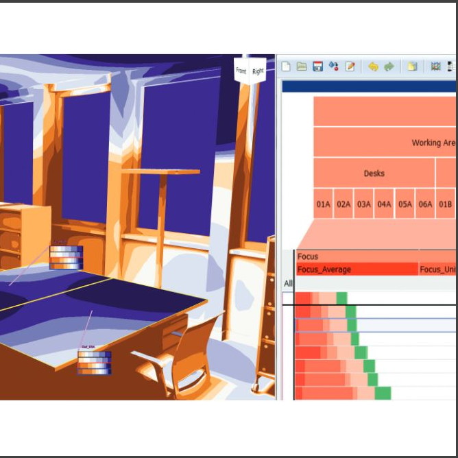
Sorger J. , Ortner T., Luksch C., Schwärzler M., Gröller E., Piringer H.,
LiteVis: Integrated Visualization for Simulation-Based Decision Support in Lighting Design.
IEEE Transactions on Visualization and Computer Graphics, Proceedings of IEEE VAST 2015.
2015 pdf
see google scholar for full list

PRo3D - Planetary Robotics 3D Viewer

PRo3D, short for Planetary Robotics 3D Viewer, is an interactive 3D visualization tool to allow planetary scientists to work with high-resolution 3D reconstructions of the Martian surface.

PRo3D aims to support planetary scientists in the course of NASA's and ESA's missions to find signs of life on the red planet by exploring high-resolution 3D surface reconstructions from orbiter and rover cameras. The reconstructions are provided by our partner Joanneum Research.

TSID - Tunnel Surface Inspection and Documentation Viewer

TSID is the 3D viewer component integrated in Dibit8, an application for the inspection and documentation of large infrastructure tunnels developed by Dibit Messtechnik GmbH

We visualize surface reconstructions derived from laserscans and high-resolution images provided by our partner Joanneum Research. Our solution comprises a suite of tools to virtually measure and annote high-resolution tunnel surfaces identifying sub-milimeter cracks and calculate the volume difference between construction phases.

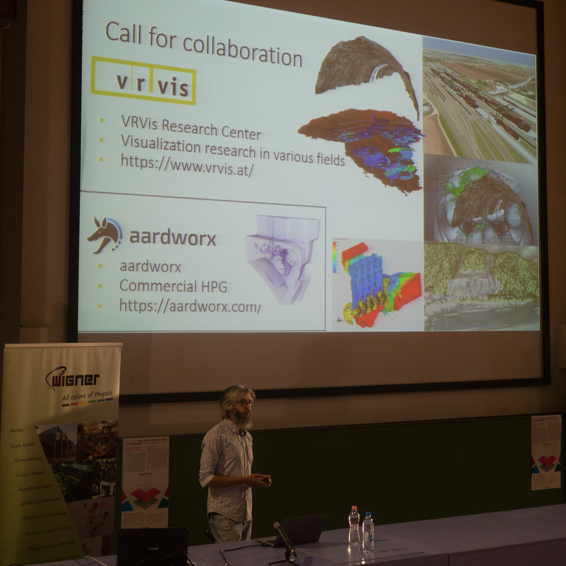
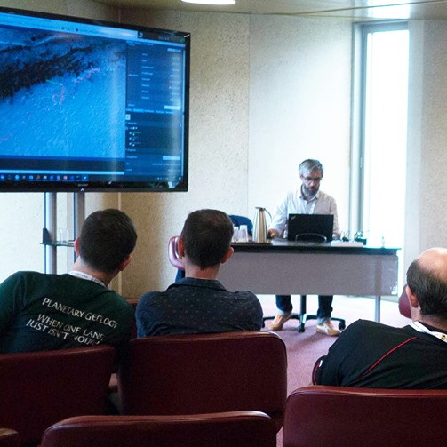
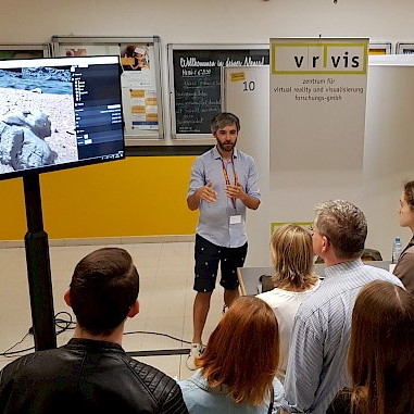
Outreach and Invited Talks

selected


Career

2020 - present Group Lead, VRVis, Vienna,
Geospatial Visualization, Semantic Modelling, and Acquisition (GeoSMAQ)
Project planning, design and realization of features, and communication of results.
2017 - present Project Manager, VRVis, Vienna, TSID(Dibit8)
Project planning, design and realization of features, and communication of results.
2016 - 2018 Functional Programming, VRVis, Vienna, PRo3D / TSID(Dibit8)
Planning and realization of functional rewrite of PRo3D and TSID Viewer in F#. Both application had been in development for 7+ years.
2016 - present Project Manager, VRVis, Vienna, PRo3D
Project planning, design and realization of features, and communication of results in a multitude of space related projects supporting PRo3D.
2012 - 2016 Software Engineer & Researcher, VRVis, Vienna, PRo3D
Research and development of PRo3D in accordance with planetary scientists.
2012 - 2016 Ph.D. Researcher, VRVis, Vienna, VISAR - Visual Analytics and Rendering
Fundamental research project concerned with the seamless integration of 3D spatial and non-spatial data, by combining 3D real-time visualizations and information visualization views. This integration is essential to civil engineering, urban planning, or disaster management, to only name a few. We published a conceptual framework and two design studies in the context of 3D visibility analysis and lighting design.
2008 - 2012 Software Engineer & Researcher, VRVis, Vienna, Dibit7
Development of the core visualization component within a tunnel documentation application (precursor of TSID).

Education

2012 - 2021 Ph.D., TU Wien, Vienna, Distinction
Doctoral Programme in Technical Sciences
2007 - 2008 M.Sc., University of Hull, Kingston upon Hull, Distinction.
Computer Graphics
2006 - 2007 M.Sc., School of Applied Sciences Technikum Vienna, Vienna, Distinction.
Software Engineering
2003 - 2006 B.Sc., School of Applied Sciences Technikum Vienna, Vienna.
Computer Science

Aardvark

PRo3D and TSID are realised within the Aardvark Platform, a collection of awesome, open source, libraries for interactive high-performance visual computing and graphics applications.